How Analysts Track Spoofed Tankers in Hormuz
▼ Summary
– During the Iran-US/Israel conflict, a maritime intelligence analyst has observed a constant pattern of ships disappearing by turning off their transponders in the Strait of Hormuz.
– The scale of signal jamming and spoofing in the strait is now unprecedented, with over half of vessels experiencing interference at one point last month.
– Analysts use alternative tracking methods, like satellite imagery and radio-frequency signals, especially after commercial satellite firms limited high-resolution imagery of the region.
– The tracking is critical because about 20% of globally consumed petroleum passes through the strait, and disruptions or accidents there have severe economic and environmental consequences.
– The data is valuable to clients like insurers and traders, as a significant portion of the tanker traffic involves vessels with histories of sanctions violations.
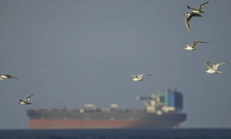
The strategic Strait of Hormuz remains a focal point of intense maritime scrutiny, especially as geopolitical tensions escalate. For analysts like Michelle Wiese Bockmann, a senior maritime intelligence expert at Windward AI, a persistent challenge has emerged: vessels that vanish from conventional tracking systems. While the tactic of ships disabling their automatic identification system (AIS) transponders is an established practice among so-called shadow fleets, the current conflict has dramatically amplified its use. These transponders normally broadcast critical data, including a vessel’s name, real-time location, and its unique seven-digit IMO number, which acts as a permanent fingerprint for a ship throughout its operational life.
Historically, signal jamming and spoofing in the region were not uncommon. However, the sheer volume of interference now is unprecedented. Bockmann notes that at a peak last month, well over half of the vessels in the strait experienced jammed signals. With more than 800 ships currently navigating the Persian Gulf, the obfuscation of maritime traffic creates significant risks for global trade and safety. This environment has forced intelligence analysts to innovate rapidly, developing new methodologies to monitor these elusive tankers.
Bockmann personally tracks a dedicated cohort of 500 to 600 vessels, some for many years. She describes the process with a touch of familiarity, comparing it to monitoring recalcitrant children. The satisfaction, she explains, comes from the moment of positive identification, when a disguised ship is finally unmasked. This high-stakes data game has serious implications. Windward AI provides intelligence to marine insurers, oil traders, and financial institutions, all of whom have vested interests in the safe and predictable flow of traffic. Given that roughly 20 percent of global petroleum transits this narrow chokepoint, any major disruption can cause what Bockmann terms “absolute carnage and chaos” in energy markets.
The dangers extend beyond economics. When tankers do not broadcast accurate positions, the risk of collisions or groundings increases substantially, raising the specter of catastrophic environmental damage from oil spills. The urgency of this work recently pulled Bockmann from a family visit in Australia back to her London office following a late February escalation, where she has since maintained a relentless monitoring schedule.
To counter the loss of reliable AIS data, analysts synthesize multiple technological streams. Samir Madani, cofounder of TankerTrackers.com, has long used commercial satellite imagery to provide clients with insights on commodity movements. Recent restrictions on high-resolution imagery from some US satellite firms have compelled his team to adapt. They are now revitalizing older data sources and procuring information from alternative Western providers. This data is particularly valuable because an estimated two-thirds of the tanker traffic through the strait involves vessels with past sanctions violations.
Bockmann’s firm employs a broader multisensor intelligence approach. This includes electro-optical imagery for visual and infrared data, synthetic-aperture radar (SAR) to penetrate cloud cover and darkness, and the analysis of various radio-frequency signals. These technical sources are fused with traditional databases containing ship registry details and even human presence signals from mobile devices detected on board. This integrated picture helps analysts reconstruct the movements of obscured vessels. A positive trend, Bockmann adds, is that the cost of accessing satellite data, once prohibitively expensive, is steadily decreasing, enabling more persistent and comprehensive surveillance.
(Source: Wired)