Why I Stopped Trusting Google Maps’ Fastest Route
▼ Summary
– Google Maps prioritizes the fastest route based on traffic, road quality, and restrictions, but the author argues the fastest route isn’t always the best option for the driver.
– The author considers factors like road simplicity, predictability, and personal comfort, sometimes accepting a longer drive to avoid complex turns or back roads.
– Google Maps provides extra information, such as current traffic, typical traffic patterns, and incidents, which the author uses to compare routes beyond just the ETA.
– The fuel-efficient routes feature in Google Maps considers traffic, hills, and road conditions, and requires setting the correct engine type to highlight more economical options.
– The author now evaluates alternatives, traffic, and drive quality before choosing a route, often preferring familiar or simpler paths over the lowest estimated arrival time.
For years, I never questioned Google Maps. If the app claimed a route would save me five minutes, I took it without hesitation. It seemed like a no-brainer.
But over time, something felt off.
I would arrive at my destination feeling like I had taken a more convoluted path, even as the app insisted it was the quickest. The minutes I “saved” often came with a cost: awkward turns, unfamiliar back streets, or unexpected congestion.
That’s when I began to scrutinize the so-called fastest route, and I discovered why I consistently favored options that Google Maps didn’t rank at the top.
The fastest route isn’t always the best route
Getting there quickly isn’t my only goal
Google Maps is engineered to solve a single equation: getting you from point A to point B with maximum efficiency. It crunches live traffic data, predicted congestion, road quality, road classifications, restrictions, toll costs, and more to calculate what it deems the optimal path.
However, my definition of a good trip doesn’t always align with the algorithm’s.
When driving in an unfamiliar area, I’ll gladly add a few minutes to my trip if it means sticking to major, well-marked roads. If I’m exhausted, I’d rather accept a longer drive than navigate a maze of alleys and complex intersections. And during peak traffic hours, I value predictability over a marginally earlier arrival.
This realization shifted my perspective. The ETA is now just one data point in my decision-making process, not the final word. Google Maps can suggest the route it thinks is best, but I’m the one behind the wheel.
For more accurate planning, you can also use Google Maps to estimate travel times for a specific future departure or arrival time, rather than just seeing current conditions. Enter your destination and use the Leave or Arrive sections to refine your estimate.
Google Maps offers more than just an ETA
I look beyond the travel time
Once I started comparing routes in earnest, I realized Google Maps provides a wealth of information about the drive ahead before you even start the engine.
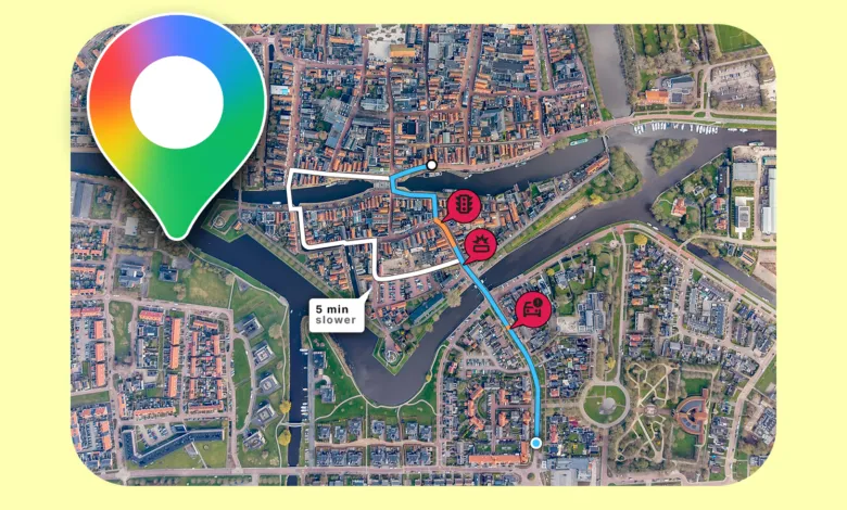
When multiple routes exist, the recommended path is shown in blue, with alternatives in a lighter shade (the colors invert in dark mode). Tapping any alternative lets you see its estimated travel time instantly.
Before heading out, you can also assess current traffic and typical patterns. After entering your destination, tap Directions, select Drive, and swipe up on the bottom information card. This shows live traffic conditions, typical traffic by hour, and any slowdowns along your chosen path. This data is crucial when weighing two options.
For instance, if Maps shows a 25-minute route and a 29-minute route, the first seems like the obvious winner. But if you check the traffic layer and see that the delays are concentrated in one specific stretch of that faster route, you might decide the extra four minutes on the alternative is a worthwhile trade for a smoother drive.
You can also enable the Traffic layer by tapping the Layers icon in the top-right corner and selecting Traffic. Beyond that, Maps highlights incidents like crashes and construction that could impact your journey.
The fastest route isn’t always the cheapest
I started thinking about fuel consumption
Google Maps includes a setting for fuel-efficient routes, and it doesn’t just pick the shortest distance.
When enabled, the app considers traffic, road conditions, route simplicity, hills, stop-and-go driving, and whether you’re on highways or local streets. It then presents a more efficient route alongside the fastest option.
To turn this on, open Google Maps, tap your profile picture, go to Settings, and select Navigation. Scroll down and toggle on Prefer fuel-efficient routes. It’s also important to set your correct engine type in the Your vehicles section, as Maps uses this to calculate efficiency accurately.
On a long highway journey, speed might be my priority. But for a routine drive with no time pressure, I’d rather know I’m choosing a route that’s easier on my gas tank.
I learned to look beyond the ETA
Google Maps has access to a level of traffic and road data I could never gather myself, yet I no longer automatically select the route with the lowest estimated arrival time.
I now review all the alternatives, check traffic conditions, consider the driving experience, and weigh whether those few saved minutes are actually worth it. Sometimes, I choose a longer route simply because it’s familiar and less stressful.
(Source: Android Police)