Waymo Maps Potholes for Waze Users
▼ Summary
– Waymo and Waze have launched a pilot to share pothole data from Waymo’s robotaxis with cities via a free Waze platform.
– The initial pilot will operate in five U.S. cities where Waymo has already identified roughly 500 potholes.
– Both city officials and general Waze app users in those areas will have access to this pothole data.
– Waymo’s sensor-equipped autonomous vehicles are uniquely positioned to collect this roadway data at scale.
– The initiative aims to build goodwill with cities and help them address road maintenance issues more efficiently.
A new collaboration between two technology firms under the Alphabet umbrella is leveraging autonomous vehicles to improve urban infrastructure. The pilot program, announced this week, will channel detailed information about road surface hazards collected by Waymo’s robotaxis directly into a free Waze platform for cities. This initiative aims to provide municipal and state governments with actionable data to prioritize and expedite repairs, beginning in several key metropolitan areas.
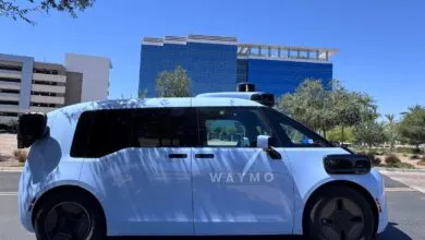
Initially, the program will focus on five markets where Waymo has a significant operational presence: Austin, Atlanta, Los Angeles, Phoenix, and the San Francisco Bay Area. In these regions alone, the company’s sensor-laden vehicles have already cataloged approximately 500 potholes. The data will be accessible to any city or state where Waymo operates, with plans to expand the partnership to more locations over time. Beyond government use, the information will also be integrated for the general public. Any driver using the Waze app in these cities will see the reported hazards, providing an additional layer of community verification for the pothole locations.
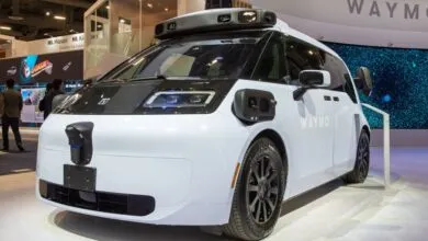
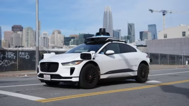
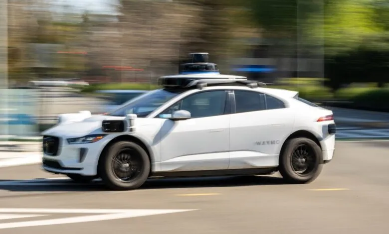
This effort enhances the existing capability within Waze that allows users to manually report road issues. By automating detection with a fleet of sophisticated vehicles, the program seeks to augment citizen reporting and create a more comprehensive, real-time map of roadway dangers. Waymo’s autonomous vehicles are particularly well-suited for this task, as they are equipped with an array of cameras, lidar, radar, and other sensors that continuously scan their environment. While other companies use embedded vehicle sensors or smartphone data to monitor traffic patterns, Waymo appears to be the first to deploy a dedicated robotaxi fleet for large-scale pothole detection and municipal data sharing.
The strategic benefits for Waymo are clear. As the company accelerates its expansion, with plans to operate in more than 20 cities this year, fostering positive relationships with municipal governments is crucial. Providing valuable, non-controversial data on infrastructure can help build goodwill and demonstrate a commitment to community safety. Waymo noted that the concept for the pilot originated from feedback received from city officials over several years. The goal is to help fill gaps in traditional reporting systems and support public works departments in their mission to maintain safer streets.
Sarah Kaufman, Director of the New York University Rudin Center for Transportation, endorsed the approach in a statement. She described it as an application of the “good neighbor principle,” where companies using public roads contribute to their upkeep. Sharing this data, she noted, helps cities address problems more efficiently and enhances safety for all road users, reflecting a broader sense of corporate responsibility.
(Source: TechCrunch)