MBRSC and Dubai Ports to Launch New Maritime Monitoring Platform
▼ Summary
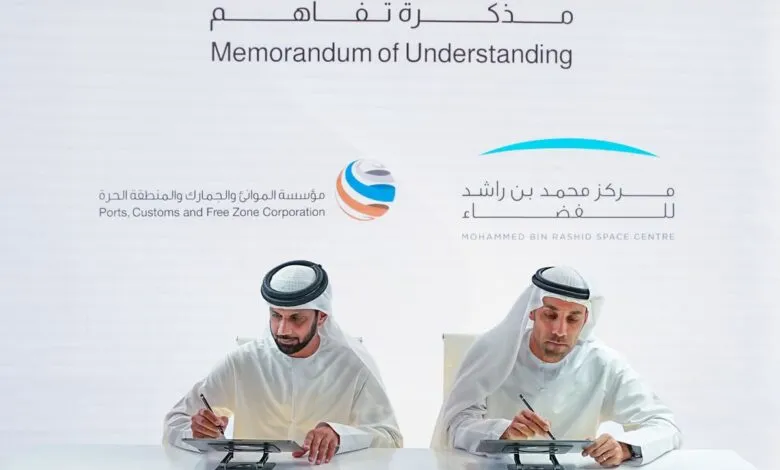
– The Mohammed Bin Rashid Space Centre and Ports, Customs and Free Zone Corporation signed an MoU to develop a maritime and coastal monitoring platform.
– The platform will monitor coastline changes, detect ships, analyze trajectories, and identify disruptions to the Automatic Identification System.
– It will enable continuous observation of sea conditions, wave activity, weather patterns, and surveillance of marine pollution like oil spills.
– The partnership aims to strengthen maritime traffic management, enhance safety and security, and support decision-making with data analytics.
– The agreement includes exchanging technical expertise and training national talent in space data analysis and artificial intelligence.
A new maritime monitoring platform is set to transform how Dubai manages its coastal and marine environments through a landmark partnership between the Mohammed Bin Rashid Space Centre (MBRSC) and the Ports, Customs and Free Zone Corporation (PCFC). This collaboration will leverage advanced satellite technology and data analytics to deliver real-time insights for maritime safety, environmental protection, and operational efficiency.
Salem Humaid AlMarri, Director-General of MBRSC, and Nasser Abdulla Al Neyadi, CEO of PCFC, formalized the agreement by signing a Memorandum of Understanding during GITEX GLOBAL 2025. The partnership focuses on creating an integrated system designed to monitor coastline changes, detect ships, and analyze their trajectories with precision. A key function of the platform will be identifying disruptions to the Automatic Identification System (AIS), which is vital for maritime security.
Beyond vessel tracking, the system will provide continuous observation of sea conditions, wave activity, and local weather patterns. It will also play a critical role in environmental surveillance by detecting and monitoring oil spills, predicting their spread, and tracking ships in polluted areas. The wealth of data generated will empower authorities to make well-informed decisions swiftly.
This initiative is part of a wider effort to integrate space technology with maritime operations. Earlier in the week, the UAE Ministry of Energy and Infrastructure, through the National Maritime Centre, also entered into a partnership with MBRSC. That agreement aims to enhance the national maritime monitoring system, improve traffic management, and bolster the safety and security of all maritime activities within UAE waters.
By combining satellite imagery and remote sensing data with real-time navigational information, the collaboration will support the development of intelligent analysis systems and unified digital platforms. These tools will allow decision-makers to assess risks, recognize operational patterns, and significantly improve emergency response capabilities at sea.
The memorandum further includes provisions for the exchange of technical expertise and specialized training for national professionals. This capacity building will focus on high-demand fields such as space data analysis, navigation systems engineering, and the application of artificial intelligence, ensuring the UAE remains at the forefront of maritime and space technology integration.
(Source: Economy Middle East)