Bronze Age City Unearthed in Spy Satellite Photos
▼ Summary
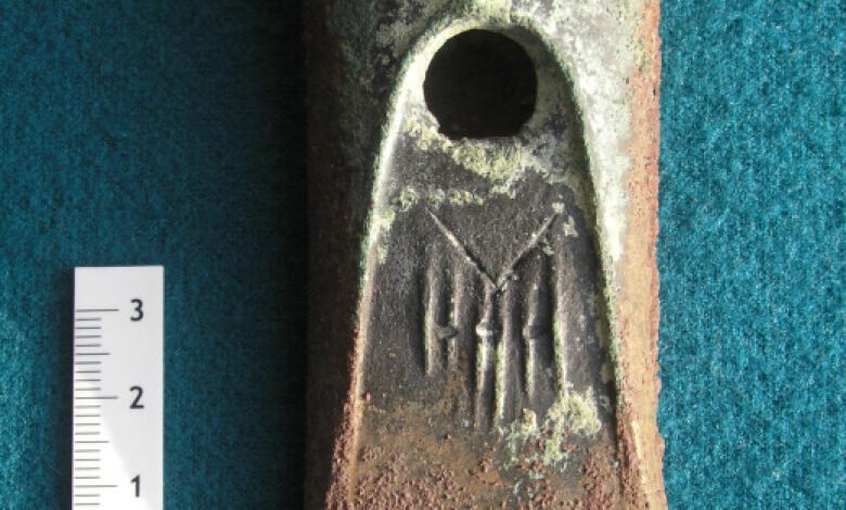
– The ancient city of Semiyarka, now reduced to earthen mounds in the Kazakh Steppe, was a bustling Bronze Age city 3,500 years ago with a thriving metalworking industry.
– Recent drone and geophysical surveys by archaeologists revealed the city spanned 140 hectares and included rows of houses, a central building, and metalworking workshops.
– Semiyarka was strategically located on a promontory overlooking the Irtysh River valley, potentially controlling movement along the river and inspiring its name, City of Seven Ravines.
– The site was first identified in the early 2000s using declassified 1972 US spy satellite photos that showed kilometer-long earthworks.
– New surveys indicate the Bronze Age city was larger and more complex than previously understood from the initial satellite imagery.
A sprawling Bronze Age metropolis, once a hub of ancient industry and trade, has been revealed through modern archaeological techniques on the vast Kazakh Steppe. The ancient city of Semiyarka, dating back 3,500 years, has emerged from obscurity thanks to a combination of declassified spy satellite imagery and cutting-edge drone surveys. What appears today as subtle earthen mounds scattered across the grasslands was actually a sophisticated urban center covering 140 hectares, complete with residential districts, specialized metalworking quarters, and strategic river control.
Researchers from University College London, led by archaeologist Miljana Radivojevic, have mapped the extensive settlement using drone photography and geophysical methods like ground-penetrating radar. Their work uncovered the remains of orderly houses constructed atop massive earthworks, a substantial central structure, and an entire neighborhood dedicated to bronze production. Artisans in these workshops smelted and cast bronze, indicating the city served as a major metalworking center during its Bronze Age peak.
The settlement’s strategic positioning offered a commanding overlook of a narrow section of the Irtysh River valley. This prime location likely allowed its inhabitants to monitor and control movement along both the river and the valley floor, facilitating trade and interaction between nomadic herders, traveling merchants, and resident craftspeople. The dramatic landscape of seven intersecting ravines visible from the city’s promontory inspired archaeologists to name the site Semiyarka, meaning “City of Seven Ravines.”
Initial awareness of the site began in the early 2000s following the declassification of imagery from the US Corona spy satellite program. Photographs taken in 1972, during the Cold War when Kazakhstan was part of the Soviet Union, first captured the outlines of the city’s kilometer-long earthworks. These images provided the first clues, but the recent detailed surveys have dramatically expanded understanding of the settlement. The new data shows Semiyarka was significantly larger and far more complex than the satellite photos alone suggested, revealing a thriving and well-organized urban community that challenges previous assumptions about steppe societies during the Bronze Age.
(Source: Ars Technica)