Google Earth’s New AI Helps Map the Climate Crisis
▼ Summary
– Google has developed technology to better map Earth’s disasters, predict them, and identify at-risk communities and ecosystems.
– The system, called Google Earth AI, combines Google’s Earth and Gemini AI systems and was introduced in July.
– It includes an AI model named AlphaEarth Foundations that converts satellite data into useful layers tracking planetary surface changes.
– Users can analyze historical landscape data to observe climate shifts like rising water levels, temperature changes, and air pollution effects.
– New capabilities allow users to interact with the AI via chatbot-style queries, such as asking it to find specific environmental phenomena like algae blooms.
A powerful new tool from Google is transforming how we understand and respond to the global climate crisis. By integrating advanced artificial intelligence with its comprehensive mapping platform, the company has created a system that not only visualizes environmental changes but also predicts future risks to communities and natural habitats. This technology makes complex planetary data accessible to anyone with a simple question.
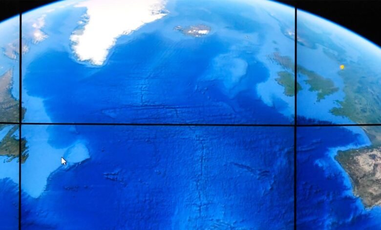
The core of this initiative is a sophisticated AI model known as AlphaEarth Foundations. Launched in July, this model processes immense volumes of satellite imagery, converting terabytes of raw data into clear, actionable information layers. These layers document the historical transformations occurring across the Earth’s surface, providing a detailed timeline of environmental events.
This integrated platform allows researchers, policymakers, and the public to analyze decades of landscape information. The system reveals significant climatic shifts, enabling users to observe phenomena like the steady encroachment of water in vulnerable flood zones. It also makes it possible to map regional variations in surface temperatures over time and to evaluate the success of clean air initiatives by tracking changes in atmospheric pollution levels.
Google has now unveiled a significant upgrade to the platform’s functionality. The system now supports a conversational interface, allowing users to interact with the AI using natural language queries, much like chatting with a virtual assistant. For instance, a user could instruct the system to “find algae blooms” to assist in monitoring the safety of water supplies. The AI will then scan through its vast archives of satellite images and collected data to generate a list of relevant findings and locations.
(Source: Wired)