Google Earth’s Street View Now Lets You Time Travel for 20th Anniversary
▼ Summary
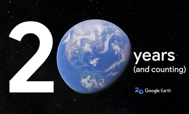
– Google Earth revolutionized digital mapping in 2005 and is celebrating its 20th anniversary with upcoming updates, including historic Street View integration and AI-driven insights.
– Originally a desktop client, Google Earth was downloaded 100 million times in its first week and is now accessible via web, mobile apps, and the Pro desktop version.
– For its anniversary, Google Earth will introduce a “time travel” feature inspired by a social media trend, allowing users to view historical Street View images of locations.
– Google is also highlighting its existing 3D timelapse feature, which uses satellite data to show how areas have changed over time from an aerial perspective.
– The 3D timelapse animations, first announced in 2021, remain a visually impressive tool for observing geographical changes.
Google Earth’s latest update brings a nostalgic twist to its 20th anniversary, introducing a time-travel feature that lets users explore historic Street View imagery. What began as a groundbreaking desktop application in 2005 has evolved into a versatile tool accessible across web, mobile, and desktop platforms. Now, the service is taking a leap into the past, allowing users to witness how locations have transformed over the years.
The inspiration for this feature came from a viral social media trend where people shared old photos of places using Google Maps. Recognizing the appeal of revisiting the past, Google has integrated historical Street View images directly into Earth’s interface. Whether it’s watching a city skyline expand or seeing a rural area develop, the feature offers a unique way to visualize change.
Alongside the time-travel capability, Google is highlighting its 3D timelapse tool, which uses satellite imagery to showcase environmental and urban shifts from above. First introduced in 2021, these animations remain a powerful way to observe everything from deforestation to urban sprawl. The update reinforces Google Earth’s role not just as a mapping tool, but as a dynamic archive of planetary transformation.
For professionals, the anniversary also brings AI-driven insights, though details remain scarce. Given Google’s focus on artificial intelligence, these enhancements will likely provide deeper analysis of geographic and environmental data. Whether for casual exploration or research, the new features ensure Google Earth continues to innovate two decades after its debut.
(Source: Ars Technica)