Satellite Firm Halts Imagery After Exposing Iran’s US Base Strikes
▼ Summary
– Planet Labs, a major commercial satellite imaging company, has temporarily restricted access to new imagery over specific Middle Eastern areas due to the ongoing conflict.
– The restriction imposes a mandatory 96-hour delay on new imagery over the Gulf States, Iraq, Kuwait, and adjacent conflict zones for most users.
– Authorized government users, such as US military and intelligence agencies, are exempt from this delay and maintain immediate access for mission-critical operations.
– The company stated this policy aims to prevent adversarial actors, like Iran, from using its data for Battle Damage Assessment (BDA) of recent strikes.
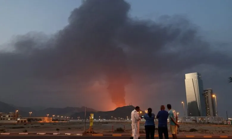
– Planet’s recent satellite imagery had shown the aftermath of Iranian strikes on US and allied bases, including damage to key military sites in Bahrain and Qatar.
A major commercial satellite imaging firm has announced a temporary halt on releasing near-real-time imagery of specific conflict zones in the Middle East. This decision comes as the company’s high-resolution photos have recently provided clear, public evidence of damage from Iranian strikes on US military facilities. Planet Labs, which operates a constellation of hundreds of satellites, stated it is implementing these restrictions to prevent its data from being exploited for military advantage during the ongoing regional hostilities.
The company’s vast network captures daily images of virtually every landmass on Earth, serving a diverse clientele that includes news organizations, academic institutions, and commercial sectors like agriculture and energy. Planet also holds significant contracts to provide overhead imagery to US military and intelligence agencies, making its data streams strategically valuable. In a statement, the firm explained that new imagery collected over the Gulf States, Iraq, Kuwait, and adjacent areas will now be subject to a mandatory 96-hour delay before entering its public archive. This policy is effective immediately for all users except authorized government entities, which retain immediate access for mission-critical operations. Imagery over Iran itself will continue to be available without delay.
This move directly follows the publication of Planet’s satellite images depicting the aftermath of recent Iranian missile and drone attacks. These photos offered unambiguous visual proof of strikes, including damage to critical infrastructure such as the US Fifth Fleet headquarters in Bahrain and a sophisticated, billion-dollar early warning radar site in Qatar. The company explicitly stated its aim is to stop “adversarial actors” from utilizing its commercial imagery for Battle Damage Assessment (BDA), a military process for evaluating the effectiveness of strikes. Essentially, Planet seeks to avoid providing Iran with a tool to gauge precisely where its attacks succeeded or failed.
By imposing this brief delay, Planet Labs aims to balance its role as a public source of geospatial intelligence with the heightened operational security demands of an active conflict. The decision underscores how commercially available satellite data has become a powerful and transparent tool in modern warfare, capable of independently verifying military events that were once shrouded in secrecy. The temporary restriction highlights the fine line these companies walk between serving the public’s right to information and navigating complex geopolitical sensitivities.
(Source: Ars Technica)